See & do
Hike without taking the car
No car? No problem, then these hiking trails are for you!


Linköping is closely connected to nature, both in distance and spirit. Hike along the Östgötaleden and explore the beautiful Eklandskapet, Kinda Canal, and the forested landscapes south of Linköping without needing to rely on a car. Enjoyable and eco-friendly hiking has seldom been easier and more accessible.
Many hiking trails can be challenging to reach without a car, but for those seeking a more eco-friendly way to travel or lacking a vehicle yet eager to venture out hiking, we’ve compiled hiking routes easily accessible by bus.
Tickets for buses running on biogas or electric power are conveniently and affordably purchased through Östgötatrafiken’s app, and you’ll have the Östgötaleden map on your mobile phone. A more sustainable experience would be hard to find. You can also book a package deal at some of Linköping’s hotels, inclusive of everything from an ecologically sustainable packed lunch for the hike to a complete relaxation experience.
Find your journey on Östgötatrafiken here
You can find the map of Östgötaleden in Linköping here (Information in Swedish).
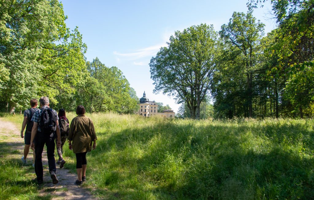
Long Hike from Bjärka Säby to Linköping
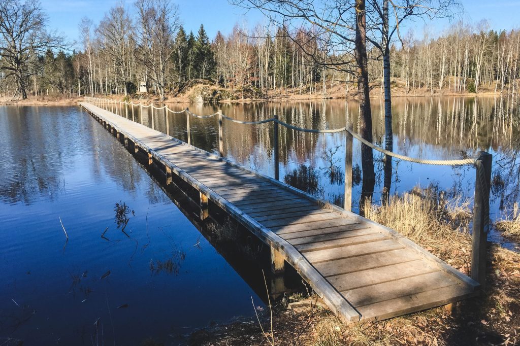
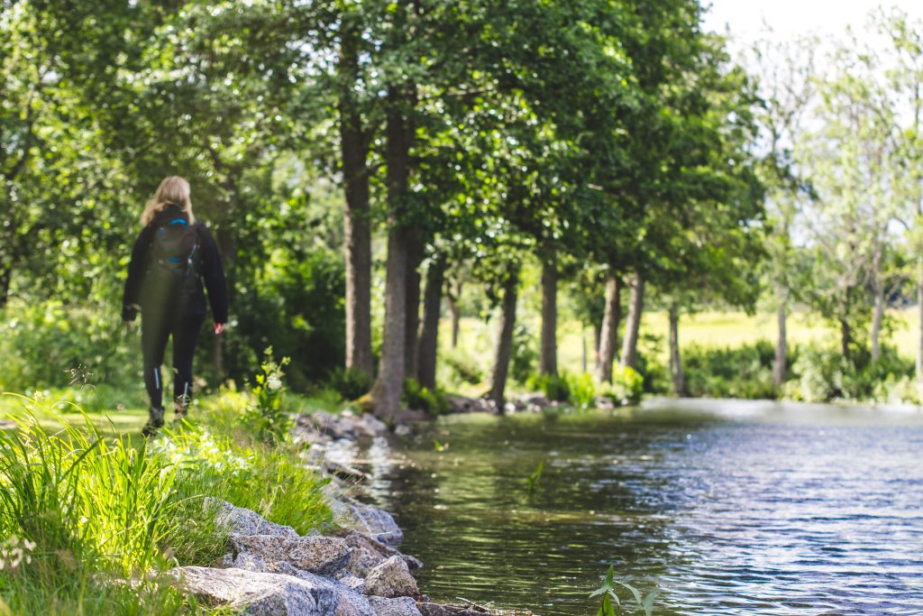
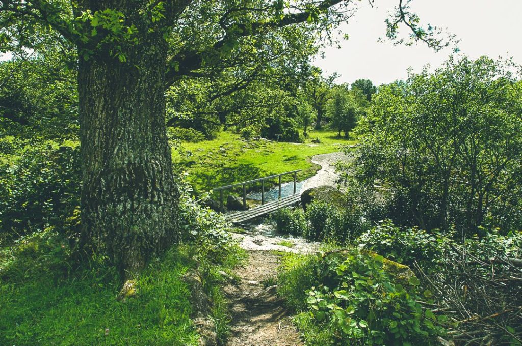
Take bus 566 towards Brokind with frequent departures from Trädgårdstorget to the Bjärka Säby bus stop. Head towards the new castle and follow the orange-marked Östgötaleden towards Hamra via scenic trails along Stora Rängen. When reaching the mouth of Kinda Canal, walk alongside the canal until you reach Hovetorp. Here, facilities include restrooms and the opportunity to enjoy ice cream or rent a kayak. The hike continues to Hamra, also with restroom facilities, before veering away from Kinda Canal towards the forests south of Linköping. A pleasant hike leads you to the wetlands at Ullaberg, where you continue towards Linköping through beautiful forests, nature reserves, and Tinnerö Eklandskap.
If you prefer not to walk the entire way back to Linköping, at Ullaberg, you can instead loop around the wetlands towards the parking lot in Harvestad, crossing Tinnerbäcken, and finally arriving at Brokindleden bus stop. Take bus line 10 back to Trädgårdstorget.
Distance: approx. 30 km.
Hiking time: 8-10 hours.
Difficulty: Easy.
Restrooms: Hovetorp, Hamra, Ullaberg, Ullstämmaskogens Nature Reserve, and Vidingsjö Sports Center.
Ice Cream & Refreshments: Bjärka Säby, Hovetorp, Vidingsjö Sports Center.
Dricksvatten: Hamra, Vidingsjö Motionscenter
Short Hike from Harvestad to Linköping
Take bus line 10 towards Sturefors departing every twenty minutes from Trädgårdstorget and disembark at the Harvestad gård bus stop. Walk up towards Ullaberg. Just before reaching the parking lot, you’ll pass Tinnerbäcken. From the parking lot, follow the orange markings along Östgötaleden around the wetlands, over the bridge, into the forest, and finally Tinnerö Eklandskap south of Linköping.
Distance: approx. 17 km.
Hiking time: 5-6 hours.
Difficulty: Easy.
Restrooms: Ullaberg, Ullstämmaskogens Nature Reserve, and Vidingsjö Sports Center.
Ice Cream & Refreshments: Vidingsjö Sports Center.
Drinking Water: Vidingsjö Sports Center.
Hike from Bjärka Säby to Hamra (Östanskog)
Take bus 566 towards Brokind with frequent departures to and from Trädgårdstorget. Get on or off at stops Bjärka Säby, Östanskog, or Hovetorp, combining your route as desired based on the distance you chose to hike. Explore this area by walking along Kinda Canal, discovering locks on the beautiful Lake Stora Rängen, and visiting the magnificent New Castle in Bjärka Säby.
Find the map and more information here.
Distance: approx. 8 km.
Hiking time: 2-3 hours.
Difficulty: Easy.
Restrooms: Hovetorp, Hamra.
Ice Cream & Refreshments: Bjärka Säby, Hovetorp.
Drinking Water: Hamra
Hiking in Hamra (Östanskog) to Linköping
Take bus 566 towards Brokind with frequent departures to the Hamra (Östanskog) stop. Discover the southern Linköping forests by hiking through nature reserves, eventually reaching the beautiful Tinnerö Eklandskap as you approach central Linköping.
Find the map and more information here.
Distance: approx. 22 km.
Hiking time: 6-8 hours.
Difficulty: Easy.
Restrooms: Ullstämmaskogens Nature Reserve and Vidingsjö Sports Center.
Ice Cream & Refreshments: Vidingsjö Sports Center.
Drinking Water: Vidingsjö Sports Center
If you’d prefer to conclude with a kayaking trip into the city (through the Kinda canal locks), it’s excellent to take the kayak from Hovetorp to central Linköping. Book through outdoortime.se or with Systrarna i Lugnet.
*This text has been automatically translated.


Nature experiences
Pilgrimage from Linköping to VadstenaNature experiences
Accessible hikingNature experiences
City-close hikingNature experiences
Challenging hikesKunde inte hitta några poster
Försök med en annan filtrering eller sökning